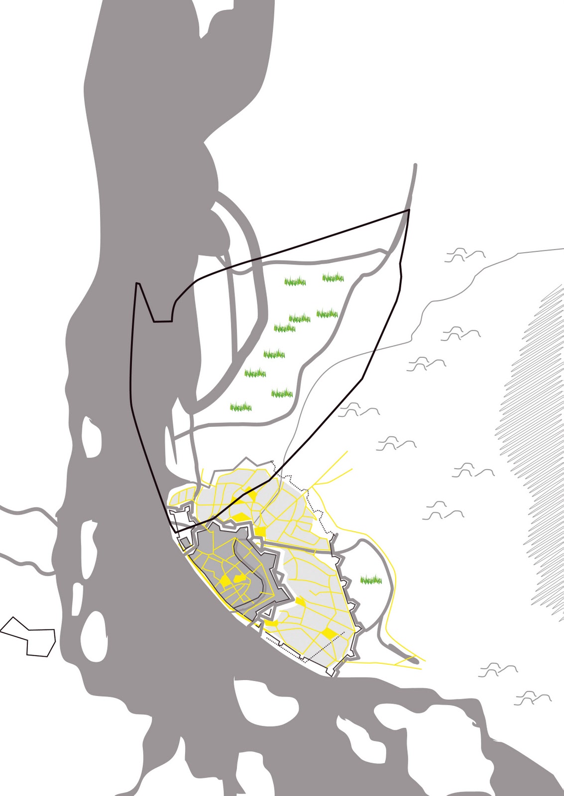
In a previous post I showed the development of Riga by historical maps. Now to compare them good and see wat actually happened I made a schematic map of each period. Interesting is how defining the first plan was to make a rectangular city extension for the suburbs. Every city fire and redevelopment it seems they made more progress according to this design plan. Skanstes area, Petersala and Andrejsala developed much later than the rest of the suburbs more tot the east and south.


No comments:
Post a Comment