October 12, 2010

Historical development of Skanstes area - Slow Urbanism Riga

Keeping a blog means you have to add a message frequently otherwise it's not interesting to keep coming back to the blog. My apologies for not posting for a while.
Recently I have been to Riga for inventarising and registrating developments in the study area. After that I started to work on my first part of my thesis, the Analyses book. Part of this analyses is the historical development. By doing research on the maps available and comparing them a lot of things become clear why the study area looks nowadays as it is. Also I found out that the development of Riga has been very much influenced by Dutch and other European designers during the past centuries. It shows again how open and what an interesting mix of East, West and North Europe this city actually is.

An english common meadow in Sudbury

The preventive city fire of 1812 destroying the wooden suburbs, nowaday central rayon
Other remarkable discoveries where the fact that this area was really a long time the cities common cattle meadow (Deutsch: Stadts Vieh weide, Nederlands: Meent of veeweide) and that the grid structure central rayon actually is the result of 7 or 8 city fires after which the layout of the city was optimalised again and again.
Hereby the maps on the development of Riga and the Skanstes area starting from 1600 to nowadays:

September 23, 2010

Slow Urbanism Riga: the study area

Some times only after deep thinking you understand things. For instance I was wondering why I all the time had such a good feeling about Riga, as if I knew it for a long time. Only after spending a weekend at my parental house I understand. Just around the corner of the house where I used to live is an old warehouse with the name of Riga on it. The city where I am from, Harlingen, has a big harbour. Probably they where trading wood with Latvia via Riga. As a small boy I always wondered how that city would look like. Then I imagend a city with a river full of loggs floating around. Sadly this is not true as I know now but still I really like the old city center next to the big open river landscape. This again is reminding me of Harlingen where the city center is also next to the big open sea.
 

Back to Riga
The study area which I plan to visit composes the innercity, the 19th century city, Kipsala where the new city center should take place and off course the design area, north of the innercity. On the map you will see there used be a train depot, garden allotments, a old harbour and many factories. The design area will be on another position in the mental map when the Baltic Highway and the northern bridge will realised. Then it can become one of the main entries when coming from Tallin (north) or from the ferrie city Ventpils in the west.

September 21, 2010

Video's on Riga's 19th century area and some studentprojects

I found this video very beautiful and telling the qualities I see in this 19th century neighbourhood. I call it in my thesis the 'european city' with some certain features like big blocks with parcels in it. The parcels can be developed independently. In Riga you see they made plots for a certain type of appartmenthousing because they are all limited to the same width and height more or less.

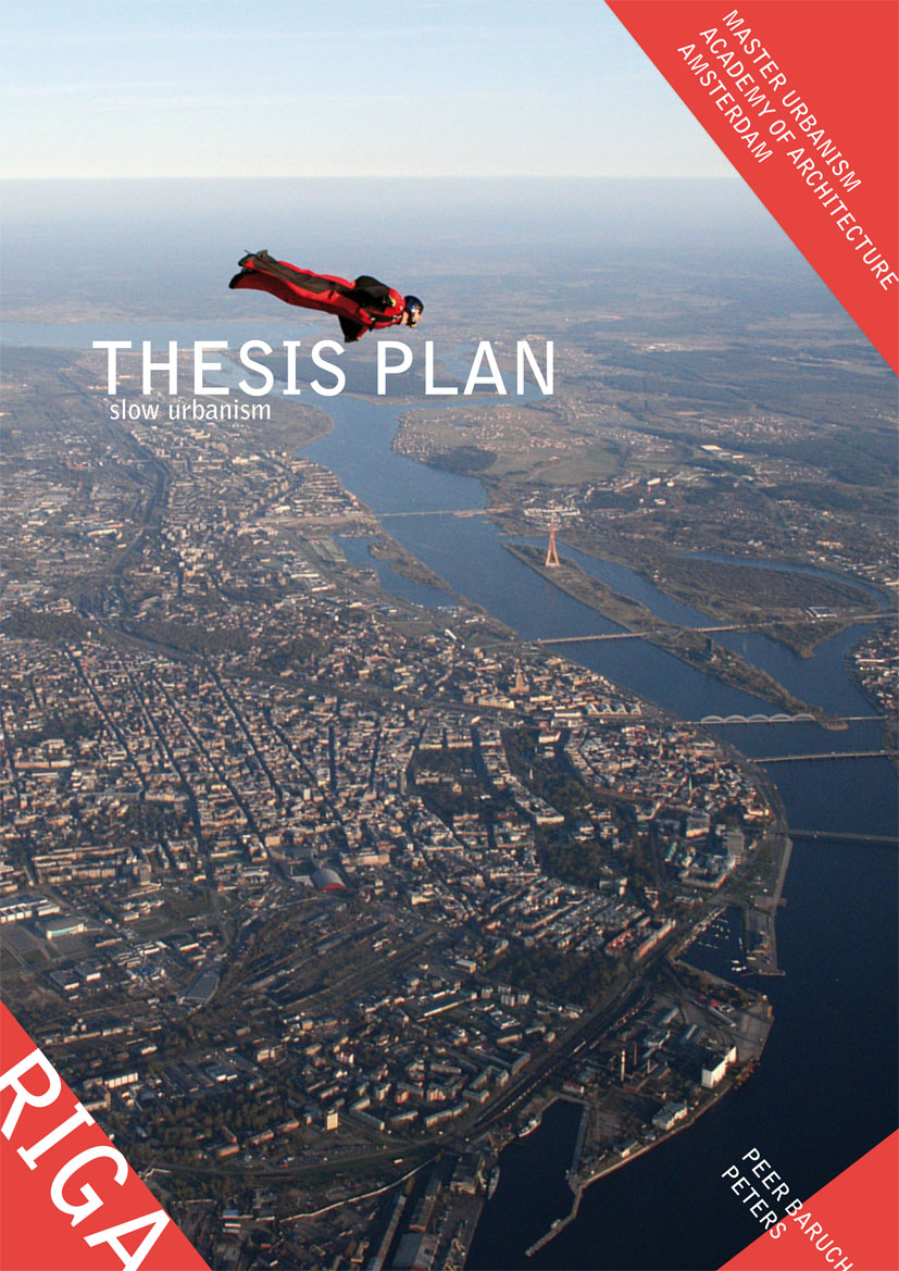
thesis plan Slow Urbanism Riga

To communicate easily with people interested in my thesis I decided to place my thesis plan online. It's available in both English and Dutch.

September 15, 2010

Thesis plan 'Slow Urbanism Riga' approved!

Last Friday, the 10th of September, I held my presentation on my thesis plan at the Academy of Architecture Amsterdam. I told about my theme which is slow urbanism and the location where I want to test it. I have two goals, learning how Slow Urbanism works and how to design it and to offer Riga another course in developing the city.